River Shannon Protection Alliance
Read The Kennedy Analysis Overview HERE
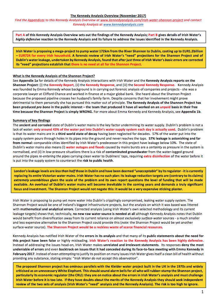
This is a summary of the four reports that have been produced by Kennedy Analysis in relation to the proposed Shannon Project. You can read more about this Here
About Us?
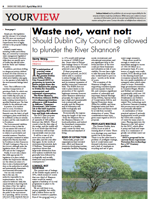
The Shannon Protection Alliance was founded at a public meeting in Athlone on April 20th 2007 The central principal and immediate purpose of the organisation is to prevent the proposal of Dublin City Council to abstract in excess of 350 million litres of water on a daily basis from Lough Ree on the river Shannon, and to oppose any action that may be harmful to the well being of the river Shannon system. Since then, the abstraction options have been considered and the current recommended proposal is to abstract upwards 500 million litres of water from Lough Derg and store it in a depleted bog hole to be developed by Bord na Móna at Garryhinch bog, (near Portarlington) where the water will then be treated and pumped on to Dublin. It is worth noting that the combined population of all of the counties bordering the Shannon is well in excess of 1MILLION people! It is our pledge and ambition to maintain and intensify our campaign by all legitimate means, until both Dublin City Council and the Minister for the Environment confirm their abandonment of their potentially disastrous plans for the River Shannon.
Info on the River Shannon
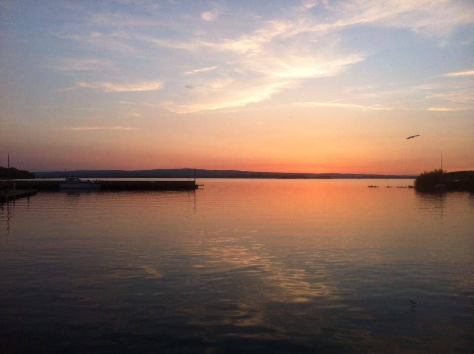
The River Shannon (Irish: Sionainn alternatively Sionna), the longest river in the islands of Ireland and Great Britain at 386 km (240 mi), divides the west of Ireland (mostly the province of Connacht) from the east and south (Leinster and most of Munster).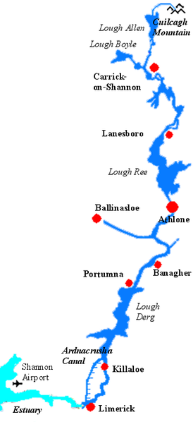 County Clare is the major exception being west of the Shannon, but is part of the province of Munster. The river represents a major physical barrier between east and west with less than twenty crossing-points between Limerick city to the south and the town of Carrick on Shannon to the north. The river has been an important waterway since antiquity being first mapped by Ptolemy the geographer, mathematician and astronomer. The river flows generally south from the Shannon Pot in County Cavan before turning west and emptying into the Atlantic Ocean through the 113 km (70 mi) long Shannon Estuary. Limerick city stands watch at the point where the river water meets the sea water of the estuary. It is not affected by the tides east of Limerick.
Geography
The source of the Shannon is in the Cuilcagh Mountains in south County Fermanagh in Northern Ireland, from where it flows through Shannon Cave, and rises at Shannon Pot in County Cavan. The river runs through/between 13 of Ireland's counties. Lakes on the Shannon include Lough Allen, Lough Ree and Lough Derg. Tributaries include the River Inny, River Suck and the River Brosna.
Canals
There are also many canals connecting with the river Shannon. The Royal Canal and the Grand Canal connect the Shannon to Dublin and the Irish Sea. It is linked to the River Erne and Lough Erne by the Shannon-Erne Waterway. Ballinasloe is linked to the Shannon via the River Suck and canal, while Boyle is connected via the Boyle canal, the river Boyle and Lough Kee. There is also the Ardnacrusha canal connected with the Ardnacrusha dam south of Lough Derg. Lecarrow village in County Roscommon is connected to Lough Ree via the Lecarrow canal. Jamestown Canal forms a link between the River Shannon, from south of Jamestown, to Lough Nanoge to the south of Drumsna.
History
The river began flowing along its present course after the end of the Ice Age. Vikings settled in the region in 10th century and used the river to raid the rich monasteries deep inland. In 937 the Limerick Vikings clashed with those of Dublin on Lough Ree and were defeated. In the seventeenth century, the Shannon was of major strategic importance in military campaign in Ireland, as it formed a physical boundary between the east and west of the country. In the Irish Confederate Wars of 1641-53, the Irish retreated behind the Shannon in 1650 and held out for two further years against English Parliamentarian forces. In preparing a land settlement, or plantation after his conquest of Ireland Oliver Cromwell reputedly said the remaining Irish landowners would go to "Hell or Connacht", referring to their choice of forced migration west across the river Shannon, or death. Thus freeing up the landholdings for the incoming English settlers. In the Williamite war in Ireland (1689-91), the Jacobites also retreated behind the Shannon after their defeat at the Battle of the Boyne in 1690. Athlone and Limerick, cities commanding bridges over the river, saw bloody sieges. As late as 1916, the leaders of the Easter Rising planned to have their forces in the west "hold the line of the Shannon". However, in the event, the rebels were neither well enough armed nor equipped to attempt such an ambitious policy. The beautiful Shannon River is closely bound up with Ireland's social, cultural, military, economic and political history.
Economics
Despite being more than 300 km (200 miles) long, it rises only 76 m (250 feet) above sea level, so the river is easily navigable, with only a few locks along its length. There is a hydroelectric generation plant at Ardnacrusha belonging to the ESB. Shipping in Shannon estuary was developed extensively during the 1980s, with over (€2.5Billion) investment. A tanker terminal at Foynes and an oil jetty at Shannon Airport were built. In 1982 a large scale Alumina Extraction Plant was built at Aughinish. 60,000 tonne cargo vessels now carry raw bauxite from West African mines to the plant, where it is refined to Alumina. This is then exported to Canada where it is further refined to Aluminum. 1985 saw the opening of a huge coal-fired electricity plant at Moneypoint, fed by regular visits by 150,000 tonne bulk carriers.
Social Media
Kennedy Report Analysis
This is a summary of the four reports that have been produced by Kennedy Analysis in relation to the proposed Shannon Project. Read more here www.kennedyanalysis.com
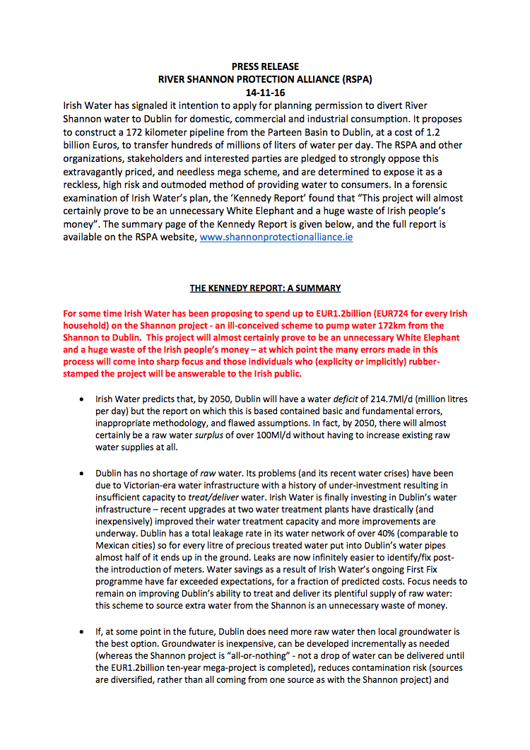
PRESS RELEASE
(14/11/16)
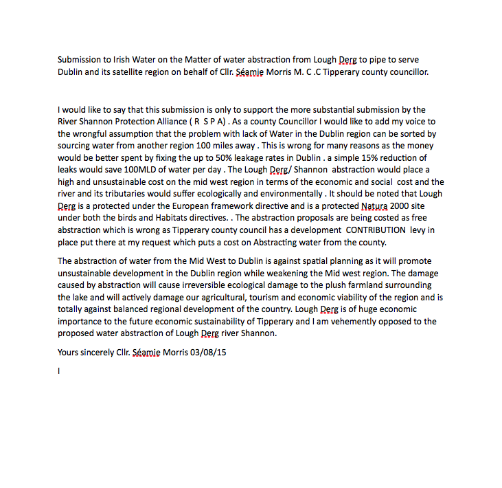
SUBMISSION BY Séamie Morris
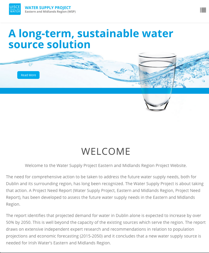
Water Supply Project
Irish Water's Need Report
Get our E-book!
Get our free E-book with every donation